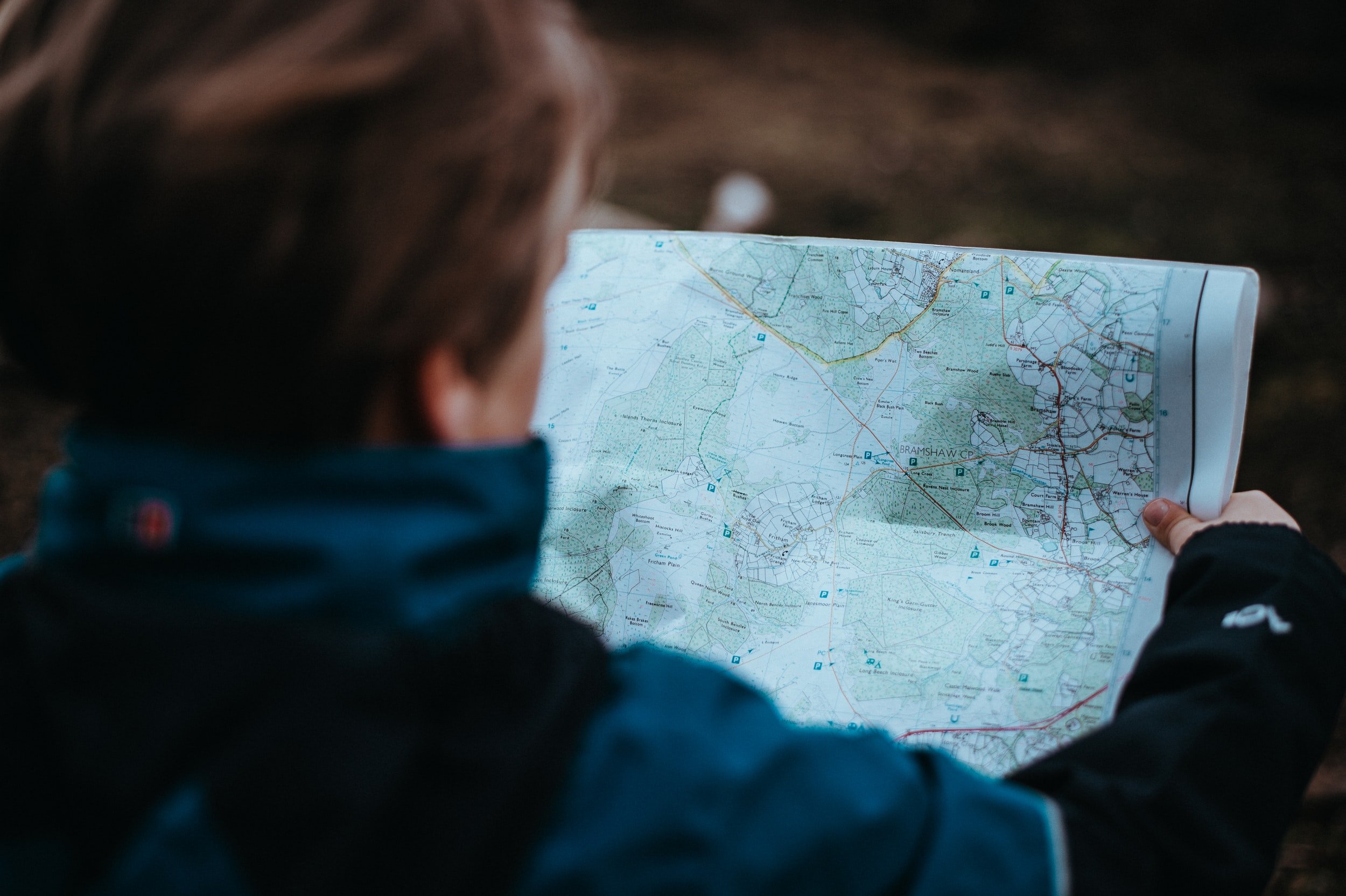
Navigating Through Our Peaceful Lands

Interactive Maps
Directions for accessing our Google Earth Trail Map in real time while you hike:
Be sure you have the Google Earth App downloaded on your smartphone.
Click the purple button above (it will open up within your Google Earth App)
Hit the back arrow at the top left of your screen.
Click the location icon on your screen (this may look like an arrow, a target, or a compass). The blue dot now shows your precise location.
Start your hike and the blue dot will move with you along the map. Click on a marked location on the map to read more about it.

Directions to Amethyst
Amethyst Retreat Center is located between the Susquehanna and the Juniata Rivers in Duncannon, Pennsylvania.
The address and directions to our two locations are as follows:
The Main House at Amethyst Retreat Center:
44 Buffalo Creek Road
Duncannon, PA 17020
Traveling North from Harrisburg:
Take Rt. 15 north past the Duncannon exit and then past the entrance to Rt. 322. (Or exit 322 at Rt 11/15 going North toward Selinsgrove.) Shortly after 322 you'll want to get in the left hand lane. Within a mile you will see the NEW BUFFALO ALLIANCE CHURCH on the left. Turn left immediately after the church onto Old Trail Rd. Follow this road past Black Creek Rd and past the fork (Buffalo Rd). The next left is BUFFALO CREEK ROAD; turn left here. The Amethyst Center is about One mile from this turn on the right. In this mile, you will pass Huggins Rd on the left and then Hill Church Road. The Amethyst Center driveway is the next right. Look for the Black mailbox with a 44. We are at the end of the VERY LONG DIRT LANE.
If you have a GPS system, you will find the main retreat house at the following latitude/longitude:
Lat N 40deg 27' 47"
Long W 76deg 58' 23"
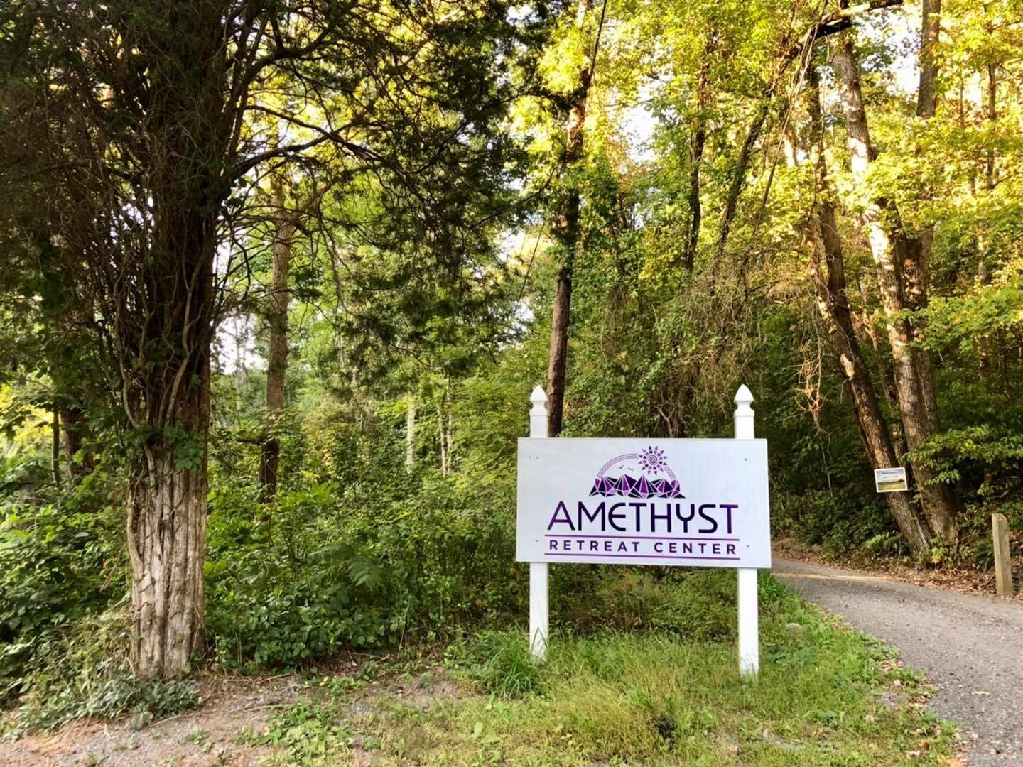
You will see this sign that marks the entrance to the Main House driveway.